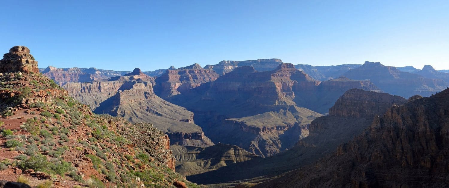
For experience hikers looking for a more challenging route to the Colorado River, the 8.9 mile Hermit Trail is exactly what you want. Hermit Trail picks up just a quarter of a mile southwest of Hermit’s Rest on the South Rim, and the trailhead can be accessed by shuttlebus for those who want to save their energy for the hike itself. Be warned that, due to this trail’s classification as a threshold trail, the park has no official responsibility to maintain it. The trail is uneven in many places and many manmade stone structures along the upper half of the trail are in a state of disrepair. All water along this trail must be treated, filtered, or boiled, so come prepared. Despite this trail’s dangerous and challenging nature, dehydration is still a leading concern for many. Those who’ve obtained a backcountry camping permit can set up camp at designated points along the trail. Hazards include dehydration, unpredictable weather, loose footing, rockfall, extreme temperatures, and wildlife.
Photo © Courtesy of Grand Canyon National Park and used under the Creative Commons.
| Locations/Elevations | Mileages |
|---|---|
| Hermit trailhead (6640 ft / 2024 m) to Santa Maria Spring (5000 ft / 1524 m): | 2.2 mi (3.5 km) |
| Santa Maria Spring (5000 ft / 1524 m) to Breezy Point (4420 ft / 1347 m): | 3.3 mi ( 5.3 km) |
| Breezy Point (4420 ft / 1347 m) to Tonto Trail Junction (3210 ft / 978 m): | 1.5 mi (2.4 km) |
| Tonto Trail Junction (3210 ft / 978 m) to Hermit Creek, BM7(2900 ft / 884 m): | 1.2 mi (1.9 km) |
| Hermit Creek (2900 ft / 884 m) to Colorado River at Hermit Rapids (2300 ft / 701 m) : | 1.5 mi (2.4 km) |


