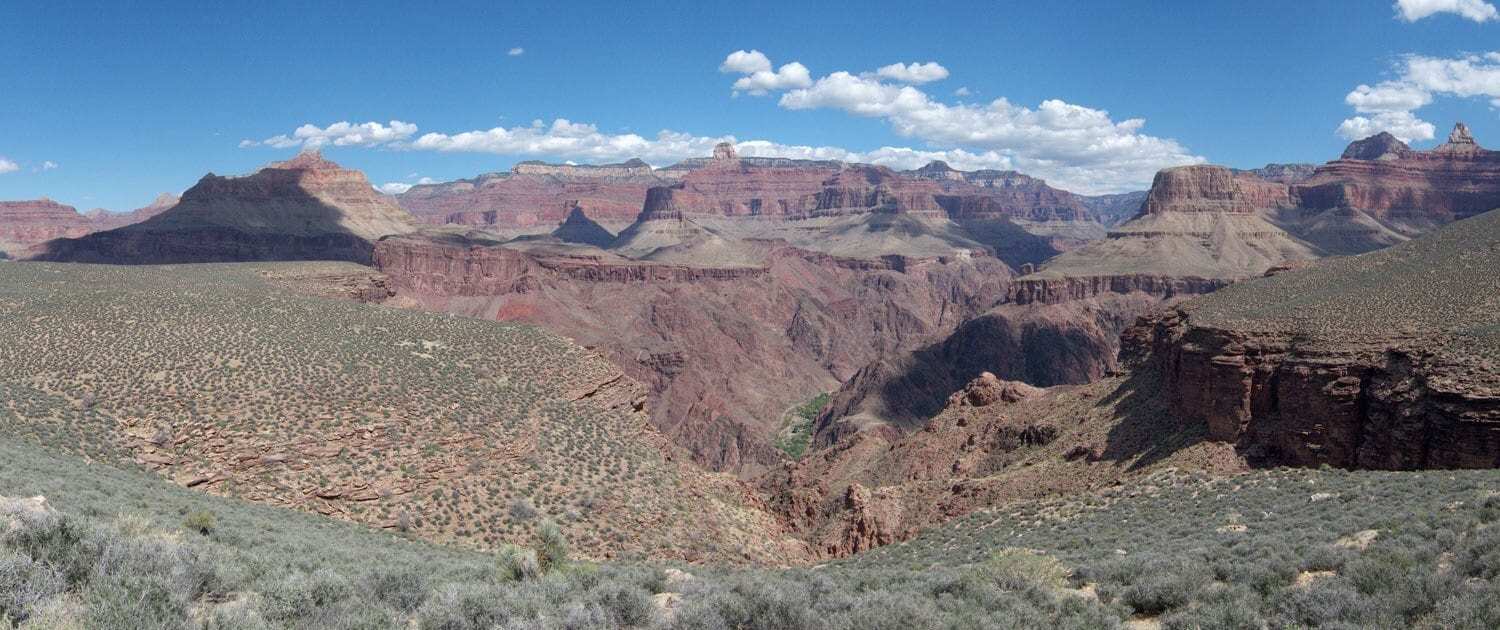
The Tonto Trail is a long, albeit easygoing trail that doesn’t actually start on either rim of the Grand Canyon. Classified as a South Rim trail, the Tonto Trail actually begins at the south bank of the Colorado River and ends at the eastern end of the Red Canyon. One of the longest trails near the South Rim by far, the Tonto Trail is an incredible 70 miles long, so be prepared for an extremely long hike. Bring water treatment equipment, because aside from a watering station at the junction with the Bright Angel Trail, all water along this 70 mile path must be treated, filtered, or boiled to ensure safe drinking conditions. Suitable water sources include Hermit Creek, Monument Creek, and Garden Creek, but don’t forget to treat this water. Camping is allowed near this trail, but you must have a backcountry camping permit to set up camp here, and the trail itself passes through multiple backcountry campsites. This trail is of moderate to strenuous difficulty, and hazard found along the trail may include dehydration, extreme temperatures, unpredictable weather patterns, and wildlife, so come prepared.
Photo © Courtesy of Grand Canyon National Park and used under the Creative Commons.
| Locations/Elevations | Mileages |
|---|---|
| Grandview Point (7400 ft / 2256 m) to Cottonwood (3690 ft / 1125 m): | 4.5 mi (7.2 km) |
| Cottonwood (3690 ft / 1125 m) to Grapevine (3550 ft / 1082 m): | 5.5 mi (8.8 km) |
| Grapevine (3550 ft / 1082 m) to Lone Tree Canyon (3680 ft / 1122 m): | 8.7 mi (14 km) |
| Lone Tree (3680 ft / 1122 m) to Cremation (3650 ft / 1113 m): | 3.5 mi (5.6 km) |
| Cremation (3650 ft / 1113 m) to South Kaibab trailhead (7200 ft / 2135 m): | 6.5 mi (10.4 km) |
| Grandview Point (7400 ft / 2256 m) to South Kaibab trailhead (7200 ft / 2135 m): | 28.7 mi (46 km) |


